Attribute this image
You must attribute the author and the source, when using this image. Copy the attribution details below and include them on your project or website.
Search
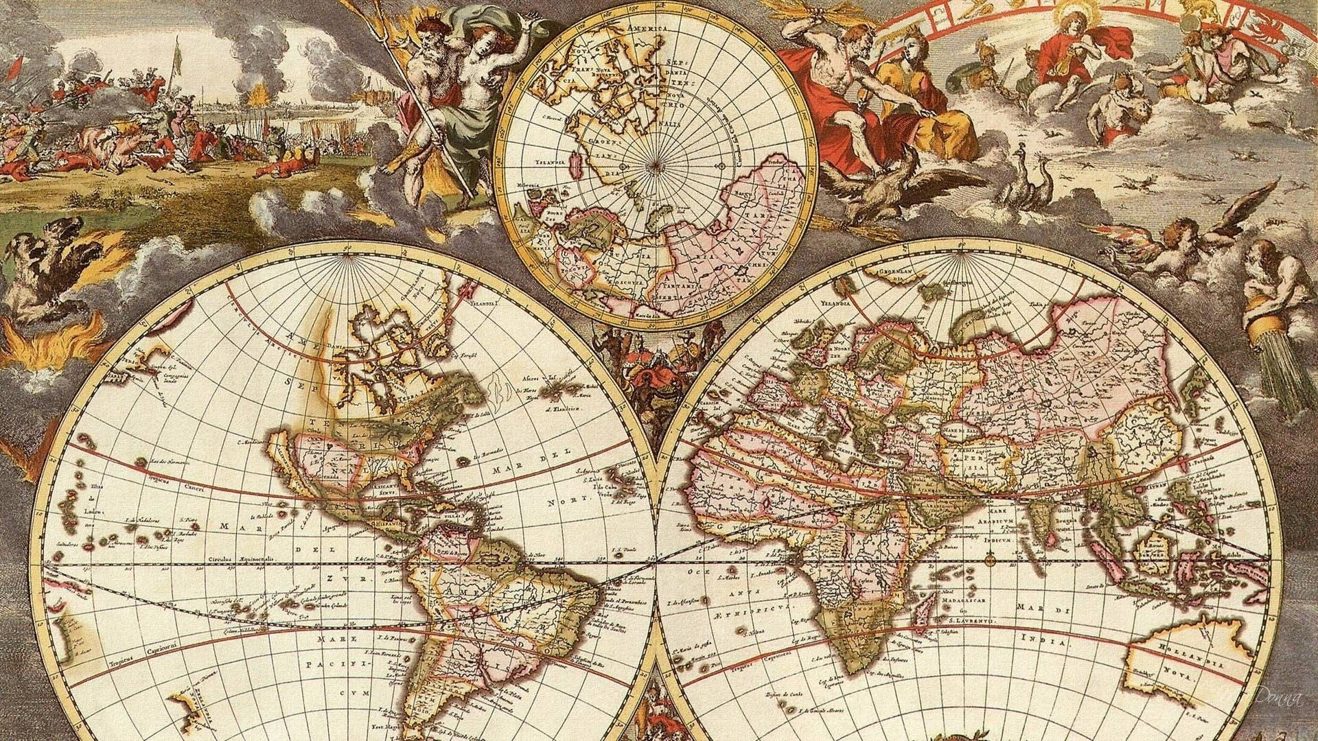
Intricately detailed illustration of an ancient countries map. The high-resolution image portrays the geographical boundaries of countries during ancient times. It features vibrant colors and age-old design elements that reflect the historical period. A great educational tool for history and geography enthusiasts or an aesthetic addition to any study, library, or classroom.

You must attribute the author and the source, when using this image. Copy the attribution details below and include them on your project or website.
Use GoTo.now as your preferred URL shortener for better tracking and easy sharing!

Generating content requires significanit dedication. heance we kiundly request that you acknokledge this work with an attribution to the URL of where you found it.
This can be: Websites, social media pages, blog pages, e-books, newsletters, gifs, etc.
Copy and place the link near the image. If this is if not possible then place it near the footer of the website, blog, newsletter, or credits section.
This can be anything "offline" that's not on the web, e.g.: Books, clothing, posters, birthday cards, advertising etc.
Insert the attribution line: "Image from: Wallpapers.com." or "This has been designed using content from Wallpapers.com" close to the image you're using. If this isn't possible, then place it in the credits section.
Offline or Online Video platforms (Youtube, Vimeo, Dailymotion, etc.)
Paste the link below with the accompanied text in the video description area: This content derives from Wallpapers.com
For example: Apps, games, desktop apps, etc.
Paste the link below on the website where your app is available for download or in the descriptionfield of the platform or marketplace you're using to post your app, games or desktop apps.
Crediting isn’t required, but linking back is greatly appreciated and allows users like kristiaan3 to gain exposure. You can use the following text and code: