Congo Countries Map Globe Projection PNG
A globe highlights North Africa and the Maghreb region in dark green against a light green background.
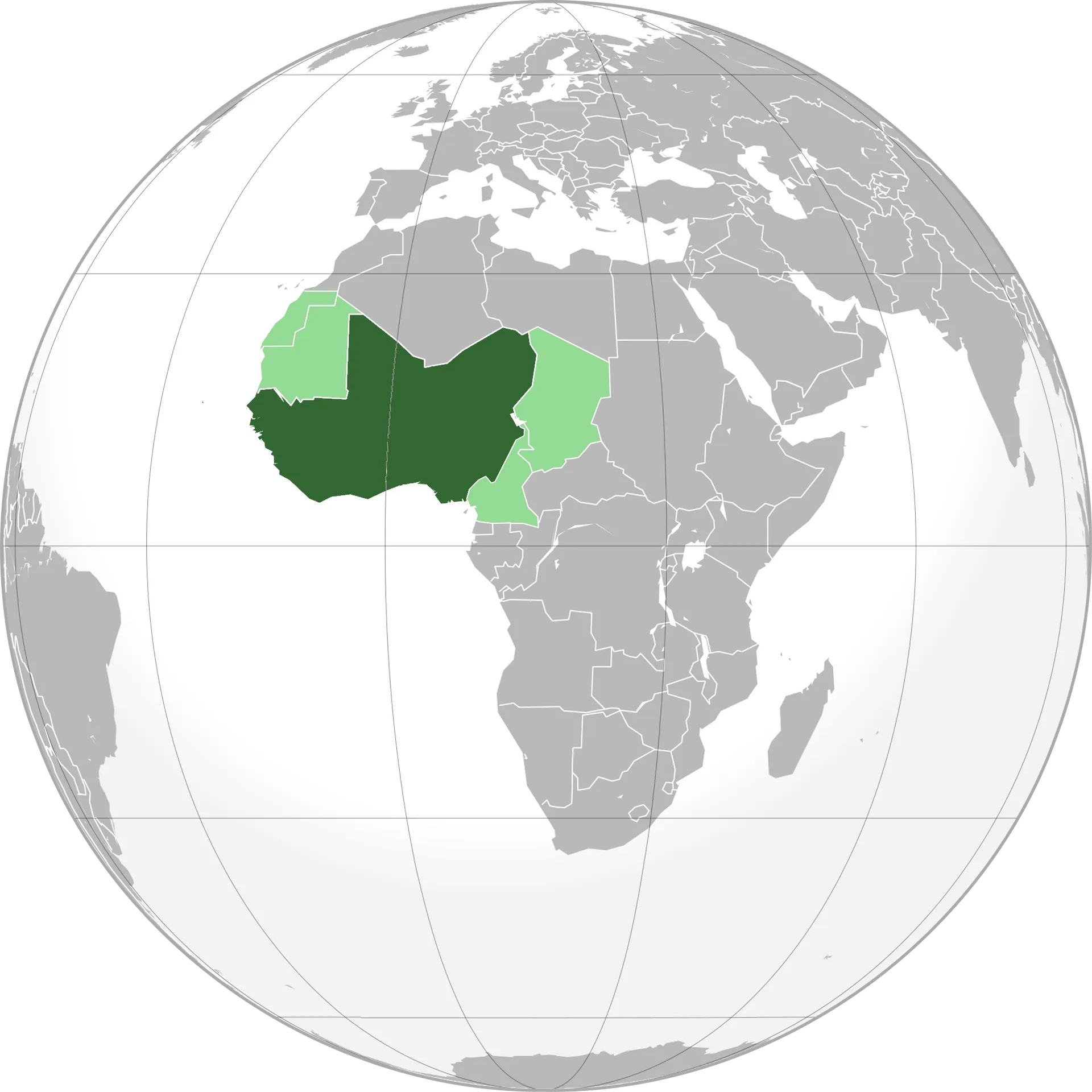
Image details 2000 × 2000 · PNG · White
Size and format
- Resolution
- 2000 × 2000 pixels (Full HD)
- Megapixels
- 4 MP
- Aspect ratio
- 1:1 · Square
- Best for
- Square (profile pictures and social posts) — iPad Pro 11, iPad Pro M4, Galaxy Watch, Pixel Watch, Pixel Watch 5, Huawei nova Flip, Huawei nova Flip S, Infinix Zero
- File format
- PNG
- Transparent background
- Yes
Colour
- Dominant colour
- White
- Main colours
- White, Teal, Grey
- Colour tone
- Neutral
- Brightness
- Bright
- Contrast
- High
- Saturation
- Muted
- Black and white
- No
- Colour palette
- White53%Silver21%Dark grey21%Dark green3%Sage green2%Grey
Content
- Style
- Illustration
- Subject
- North africa
- Mood
- Neutral, educational, geographic
Edit Congo Countries Map Globe Projection PNG
Browse all PNG tools ›









Related Congo Countries Map Globe Projection PNG
-

Vibrant Sunset Over the Congo River PNG -

Scenic Beauty of the Dense Congo Rainforest PNG -

Woman Encountering Gorillasin Congo PNG -

Aerial View Kinshasa Dusk PNG -

Rolling Hillsof D R Congo PNG -

Joyful Congolese Women Greeting PNG -

Familyin D R Congo Displacement Camp PNG -

Intense Football Match Action PNG -

Manofthe Match Award Football Player PNG -

D R C North Kivu Map PNG -

Lush_ Green_ Hills_of_ D R Congo PNG -

D R Congo Flag Proud Demonstrators PNG -

Soccer Player Action Shot D R C PNG -

Ivory Coast Soccer Celebration PNG -

Congolese Women Culinary Training PNG -

Congo Riverbank Hut Reflection PNG -

Panoramic_ View_of_ Bukavu_ City_ D R_ Congo PNG -

D R Congo Football Team Celebration PNG -

D R Congo Football Team Celebration PNG -

Celebratory Football Team Huddle PNG -

D R Congo Football Team Celebration PNG -

Cultural Performance Children D R Congo PNG -

D R Congo Football Team Celebration PNG -

Kinshasa Urban Landscape Dusk PNG -

Traditional_ Congolese_ Dance_ Celebration PNG -

Congolese Family Smiling Outdoors PNG -

D R Congo Lush Waterfall Scenery PNG -

Congolese Family Smiling Together PNG -

Smiling Childin Congolese Community PNG -

Intense Moment During Football Match PNG -

Congolese Footballer Celebrating On Field PNG -

Joyful Child Laughing Outdoors D R C PNG -

Placedel Independance Busy Cityscape PNG -

Congo Rainforest Sunset PNG -

Congo River Aerial PNG -

Mountain Gorilla Majesty PNG


📌 Boards
Build your own collection of png
Boards are free personal collections of wallpapers, backgrounds, PNGs and SVGs. Keep them private or share with one click.
Get this on your phone
Scan with your phone camera to open this page.