U S Map Color Coded Regions PNG
A stylized map of the United States with states colored in distinct shades of green red orange and blue against a black background.
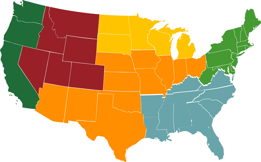
Image details 914 × 566 · JPEG · Black
Size and format
- Resolution
- 914 × 566 pixels
- Megapixels
- 0.52 MP
- Aspect ratio
- 3:2 · Landscape
- Best for
- Desktop and laptop screens
- File format
- JPEG
Colour
- Dominant colour
- Black
- Main colours
- Black, Orange
- Colour tone
- Warm
- Brightness
- Dark
- Contrast
- High
- Saturation
- Vivid
- Black and white
- No
- AMOLED friendly
- Yes · 39% true black
- Colour palette
- Black48%Orange18%Maroon11%Teal9%Dark green7%Mustard6%
Content
- Style
- Vector art
- Subject
- Usa map
- Mood
- Neutral, informative, graphic
Edit U S Map Color Coded Regions PNG
Browse all PNG tools ›









Related U S Map Color Coded Regions PNG
-

Caption: US Secretary of Defense Signing Reciprocal Defense Procurement Agreement PNG -

United States Silhouette Map PNG -

U S A Map Blue Gradient PNG -

U S Map Blueand Gray States PNG -

U S Map W H O A Cloud Network Connections PNG -

Colorful U S A Map Regions PNG -

Colorful U S A Map PNG -

U S Map Clinical Affiliations Graphic PNG -

U S Map Color Coded Regions PNG -

U S Map Graphicwith Text Overlay PNG -

U S Map Highlighted States PNG -

Blank United States Map Black Background -

Blank U S A Map Monochrome PNG -

U S A Outline Map Yellow PNG -

U S A Map Pinkand Black PNG -

U S States Outline Mapwith State Names PNG -

U S Mapwith Colored Regionsand Star Marker PNG -

U S Regions Map Simplified PNG -

United States National Parks Collage PNG knk PNG -

United States National Parks Collage PNG enu PNG -

Statue of Liberty United States Icon PNG 05242024 PNG -

Statue of Liberty United States Icon PNG 05242024 PNG -

United States Supreme Court Building PNG 05242024 PNG -

United States Supreme Court Building PNG 05242024 PNG -

United States Supreme Court Building PNG uwp29 PNG -

United States Supreme Court Building PNG pqy55 PNG -

United States Presidents Montage PNG 17 PNG -

United States Presidents Montage PNG 05242024 PNG -

United States Presidents Montage PNG bsx88 PNG -

United States Presidents Montage PNG lyb78 PNG -

United States Space Shuttle PNG 05242024 PNG -

United States Space Shuttle PNG 97 PNG -

United States Space Shuttle PNG 69 PNG -

United States Fast Food Logos PNG oux55 PNG -

United States Major Cities Skyline PNG eip PNG -

United States Major Cities Skyline PNG 05242024 PNG


📌 Boards
Build your own collection of png
Boards are free personal collections of wallpapers, backgrounds, PNGs and SVGs. Keep them private or share with one click.
Get this on your phone
Scan with your phone camera to open this page.