U S A Mapwith Selected Cities PNG
A 3d-rendered map of the united states in light blue with labeled cities and states.
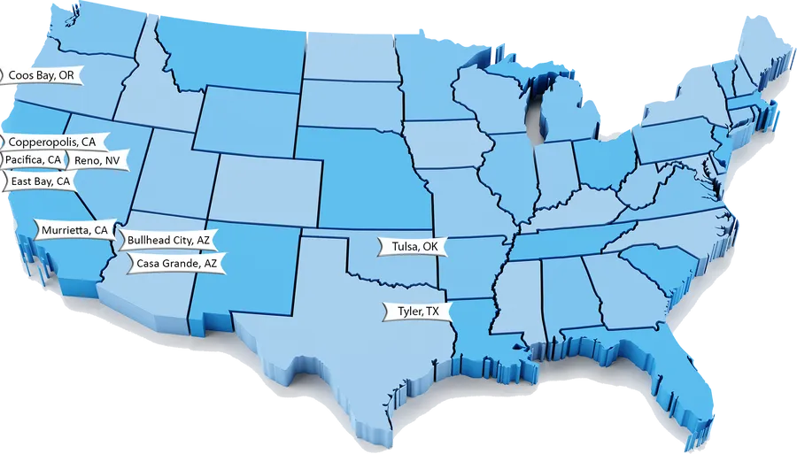
Image details 1920 × 1095 · PNG · Dark grey
Size and format
- Resolution
- 1920 × 1095 pixels (Full HD)
- Megapixels
- 2.1 MP
- Aspect ratio
- 16:9 · Landscape
- Best for
- Desktop and laptop screens — Chromebook, ROG Ally
- File format
- PNG
- Transparent background
- Yes
Colour
- Dominant colour
- Dark grey
- Main colours
- Blue, Teal
- Colour tone
- Cool
- Brightness
- Medium
- Contrast
- Medium
- Saturation
- Moderate
- Black and white
- No
- Colour palette
- Dark grey43%Sky blue50%Lavender5%Steel blue3%
Content
- Style
- 3D render
- Subject
- Usa map
- Mood
- Clean, modern, professional
Edit U S A Mapwith Selected Cities PNG
Browse all PNG tools ›









📌 Boards
Build your own collection of png
Boards are free personal collections of wallpapers, backgrounds, PNGs and SVGs. Keep them private or share with one click.
Get this on your phone
Scan with your phone camera to open this page.