Detailed International Grid Map Wallpaper
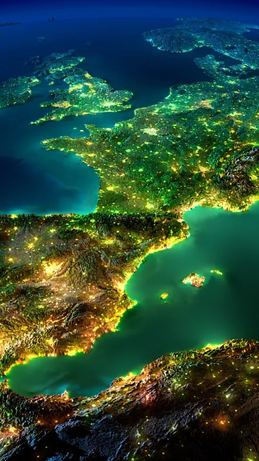
A world map viewed through water droplets with a red line tracing a route across continents under blue lighting.


Edit Detailed International Grid Map Wallpaper
Browse all Wallpaper tools ›


Related Detailed International Grid Map Wallpapers
-
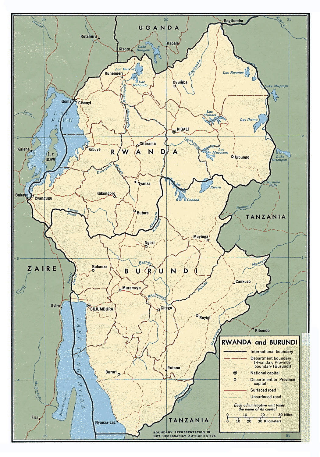
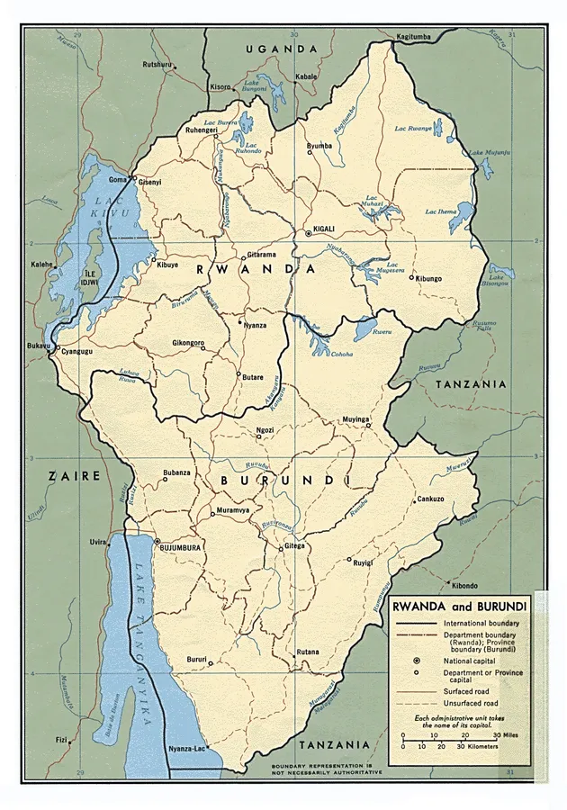
Colorful Map of Burundi Wallpaper -
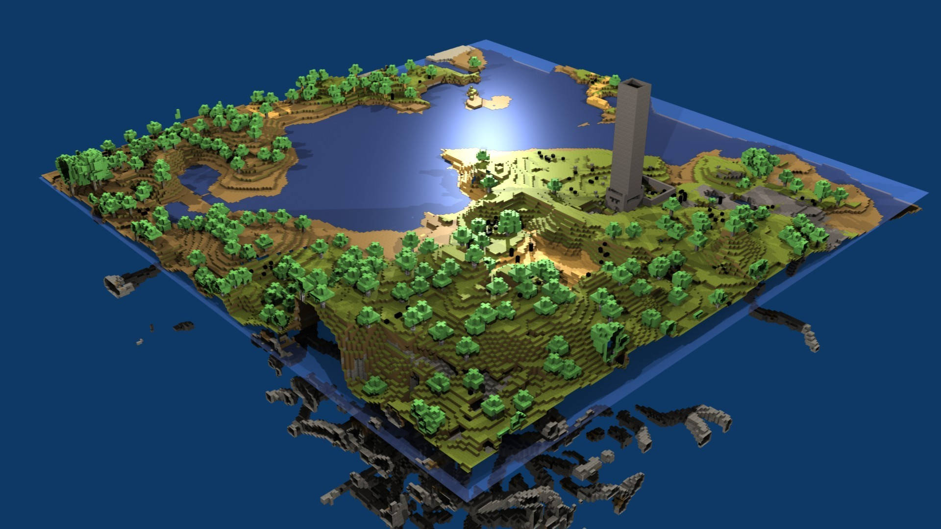
Oak Biome Map Minecraft HD Wallpaper -

Positive Motivation Explore Wallpaper -
Htc Glowing Continent Wallpaper -

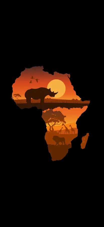
African Continent Africa iPhone Wallpaper -

Continent Map Africa iPhone Wallpaper -

Animals And Continent Africa iPhone Wallpaper -

Best Dark iPhone World Map Wallpaper -

Dynamic Forex Market Map Illustration Wallpaper -

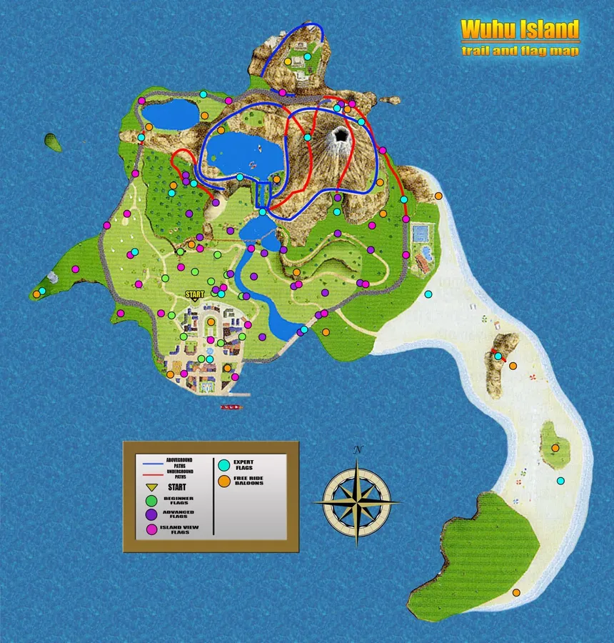
Wii Sports Resort Wuhu Island Game Map Wallpaper -

High-Resolution World Map Bronze Country Outlines Wallpaper -

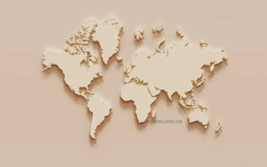
High Resolution Light Tan World Map Wallpaper -

Brown Aesthetic Compass Map Laptop Wallpaper -
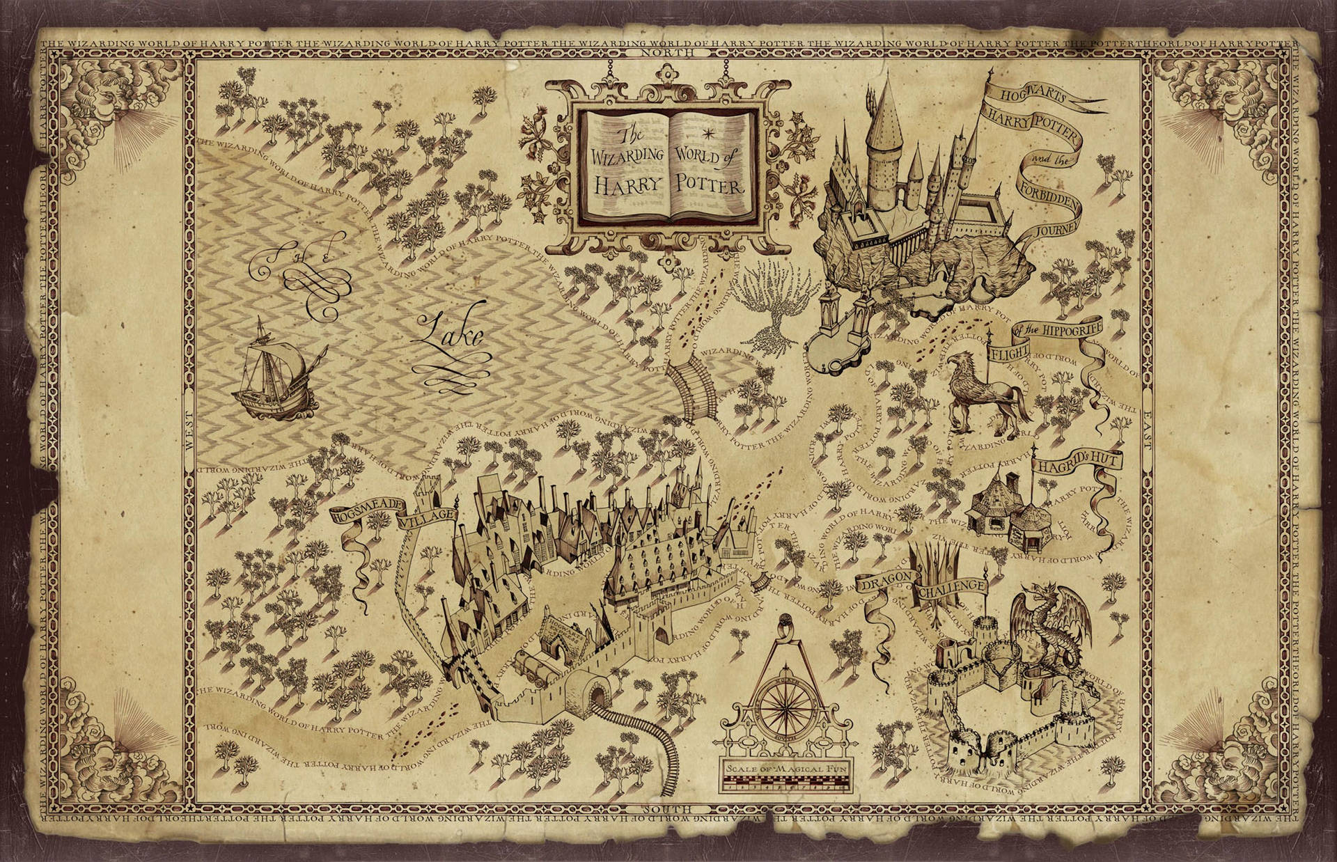
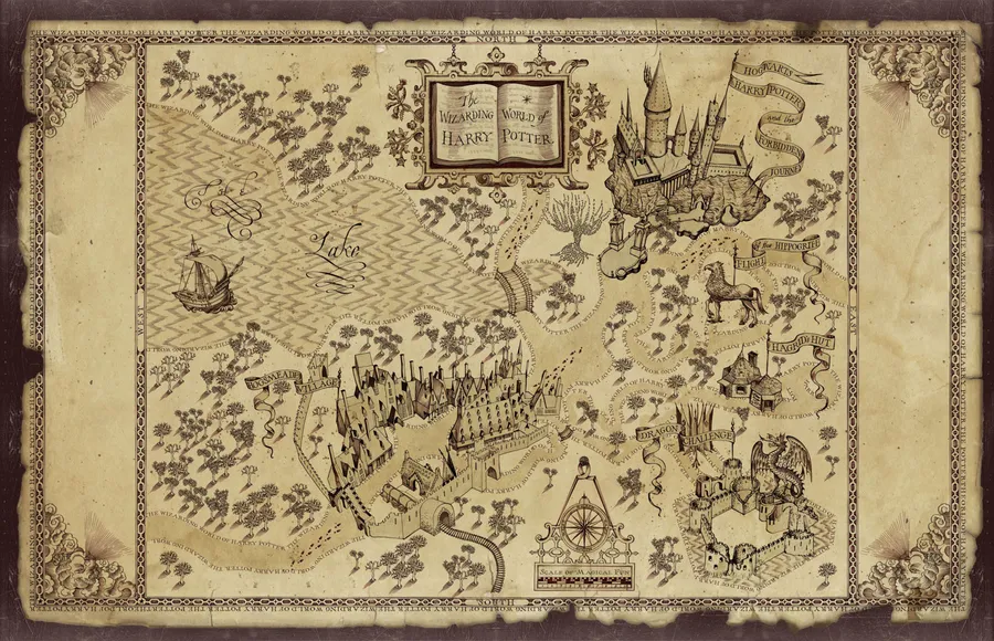
Hogwarts Map Harry Potter Desktop Wallpaper -
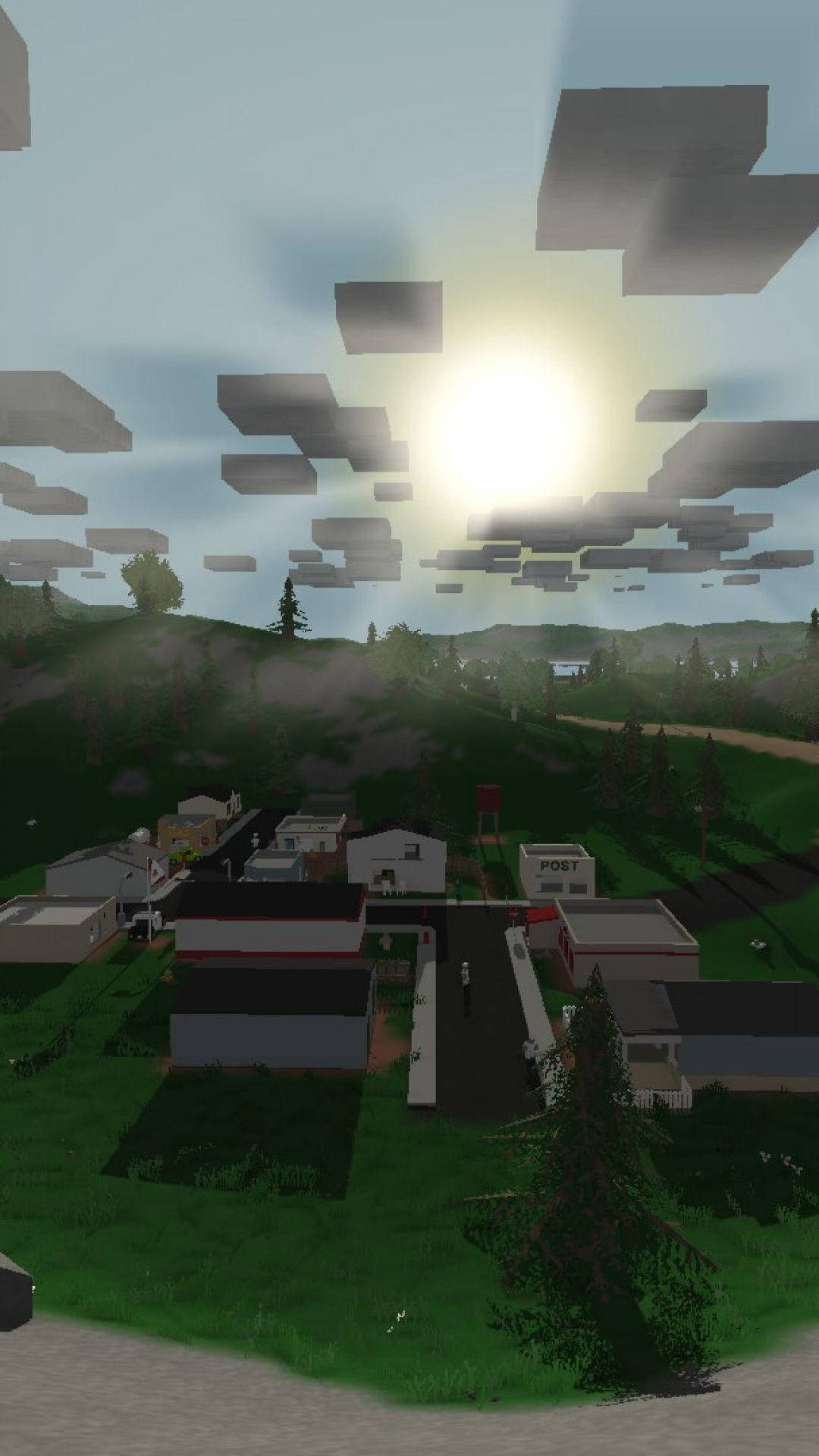
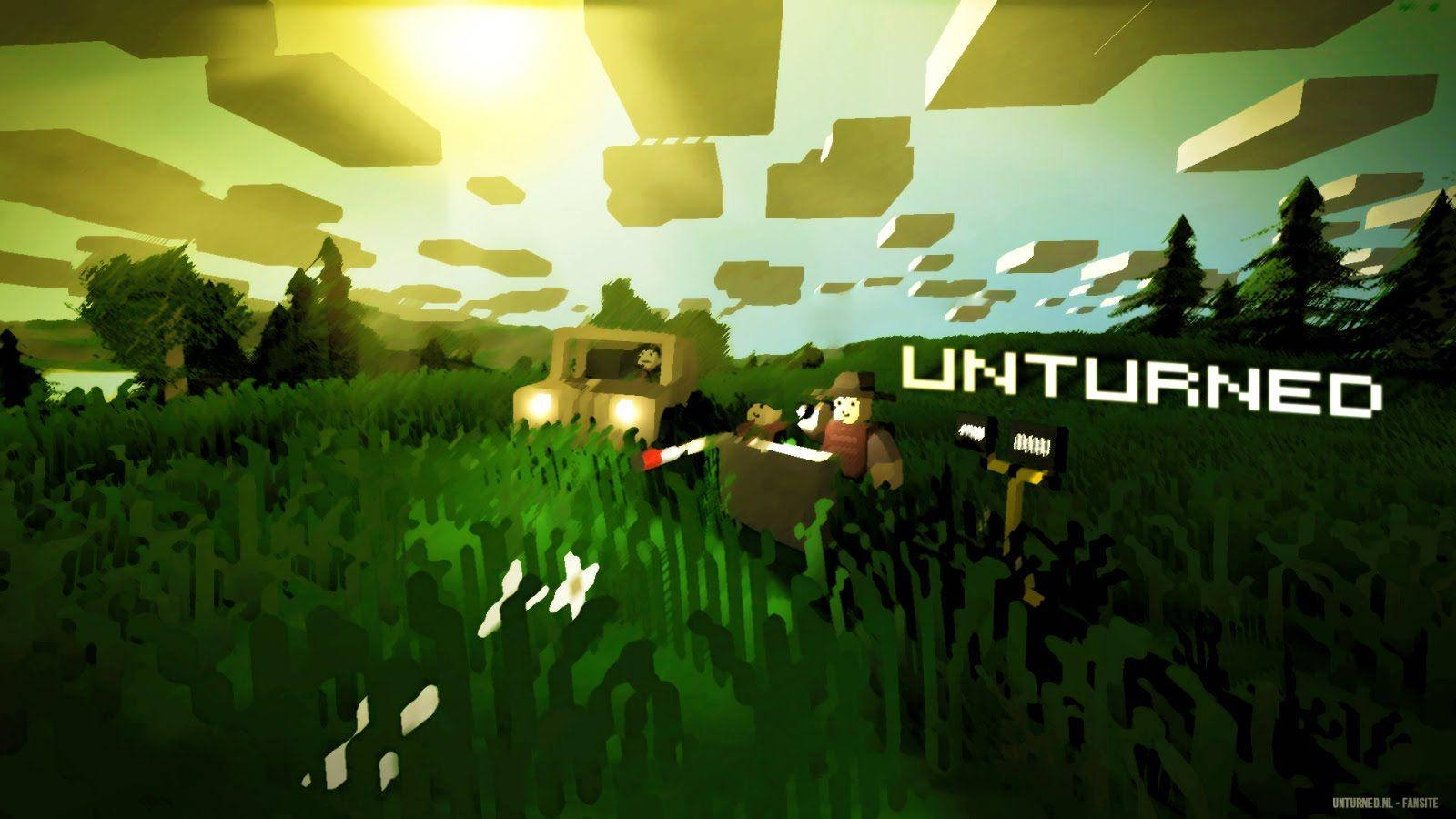
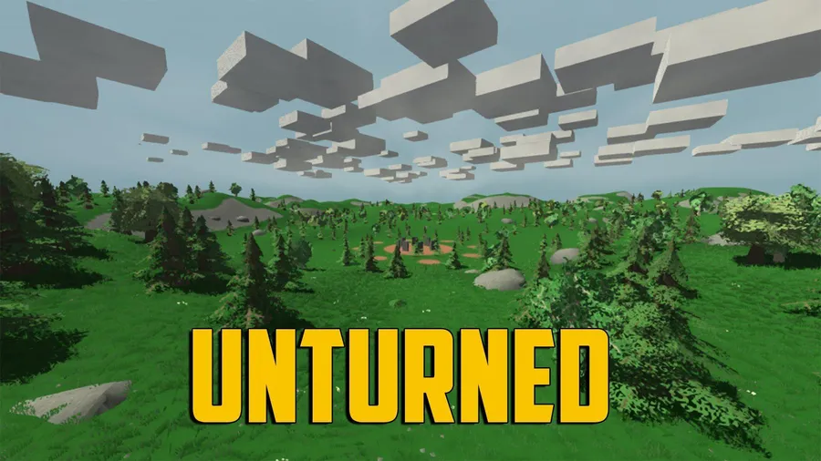
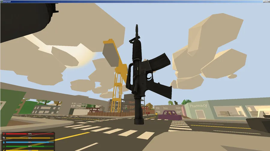
Unturned Video Game Map Wallpaper -
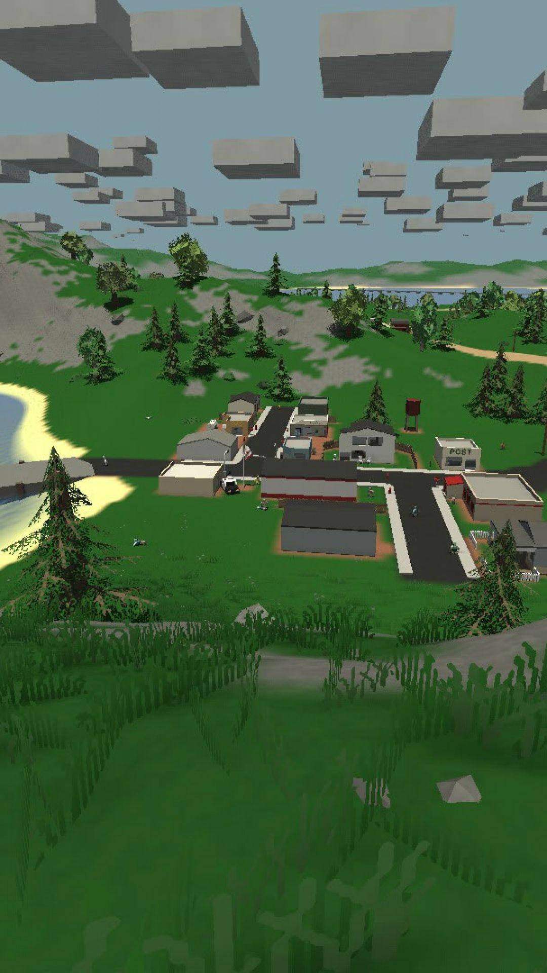
Unturned Battle Royal Map Wallpaper -
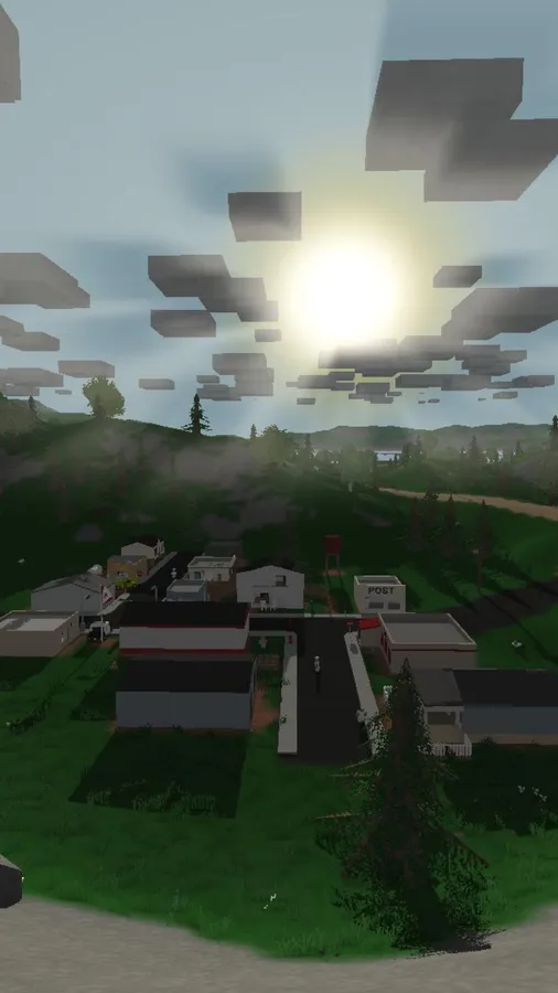
Unturned Washington Map Wallpaper -
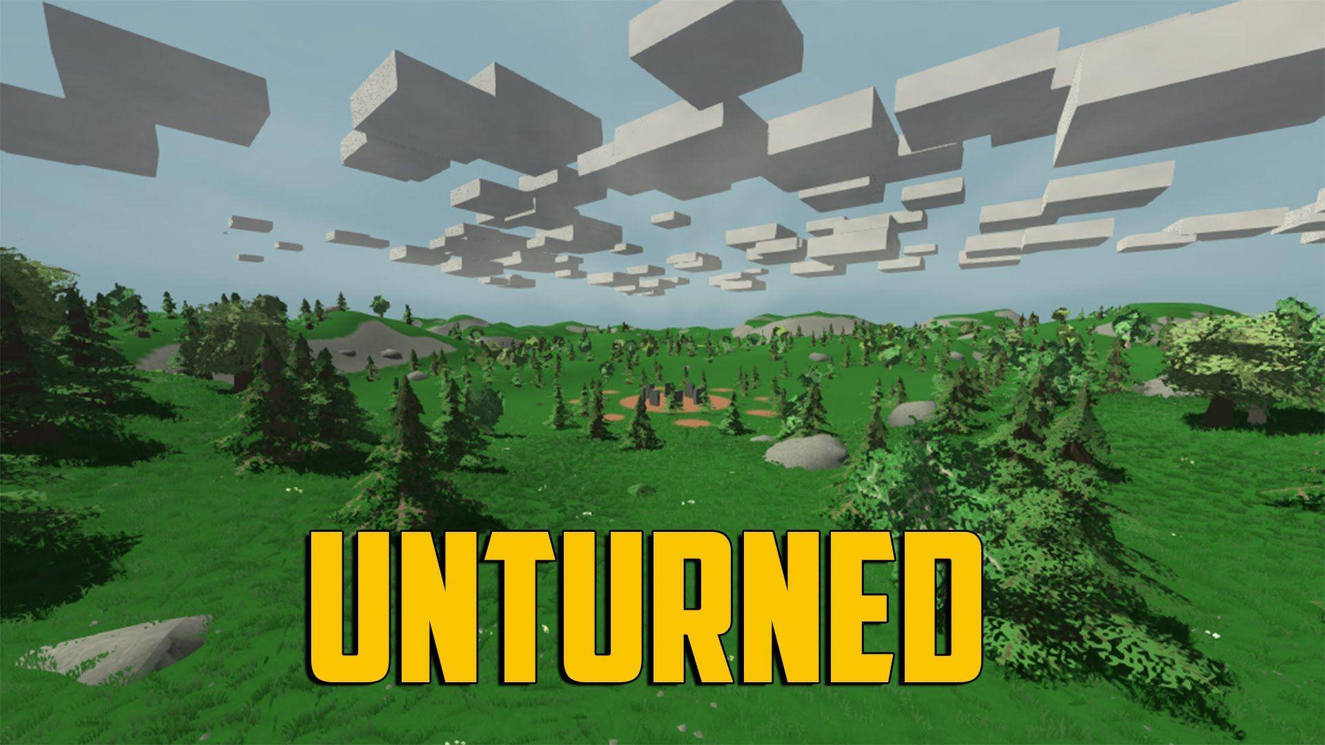
Unturned Open World Map Wallpaper -
Unturned Console Video Game Wallpaper -

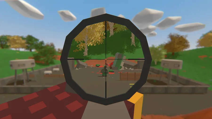
A Sniper Rifle Scope in Unturned Wallpaper -

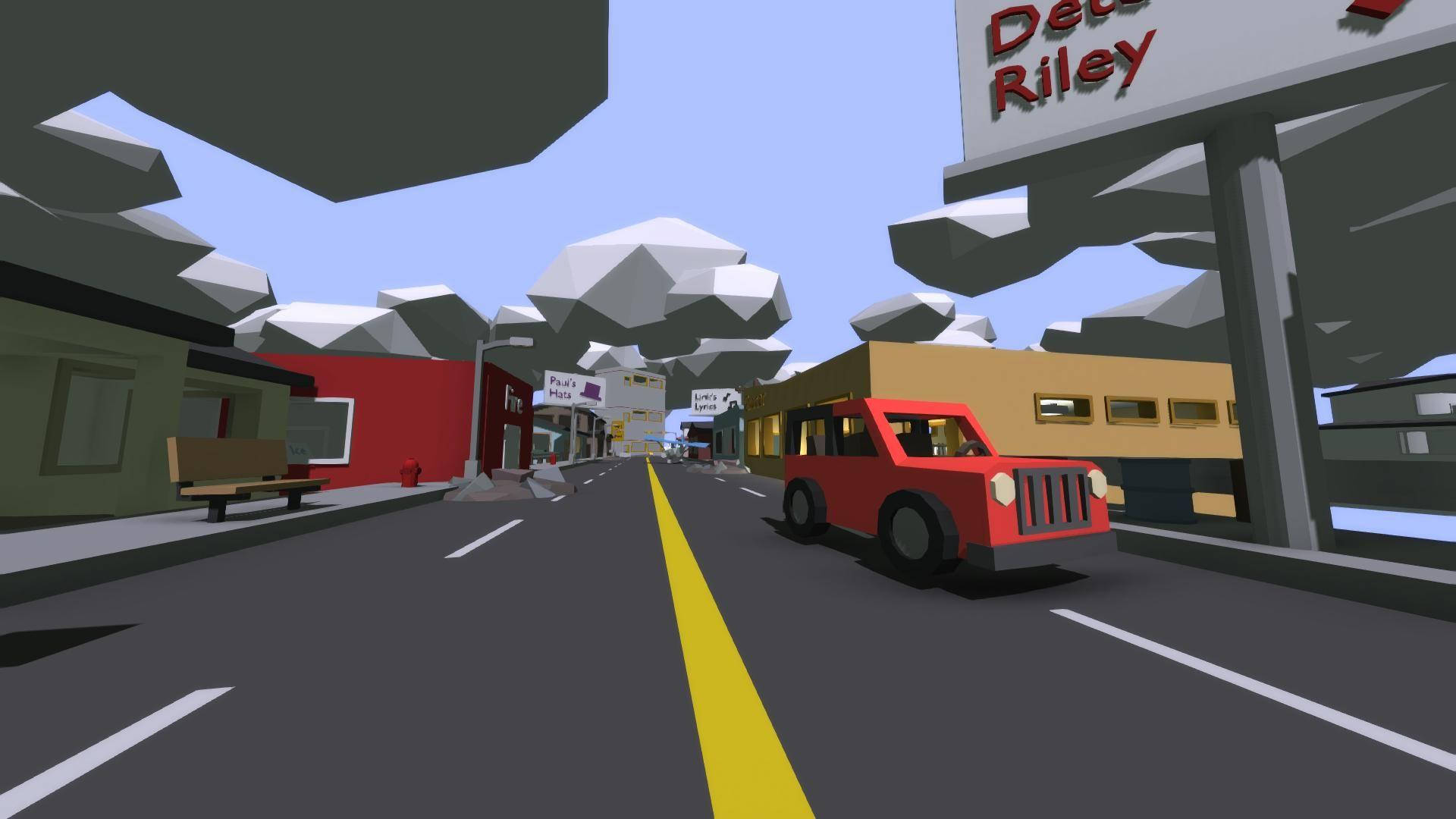
Unturned Video Game Washington Map Wallpaper -
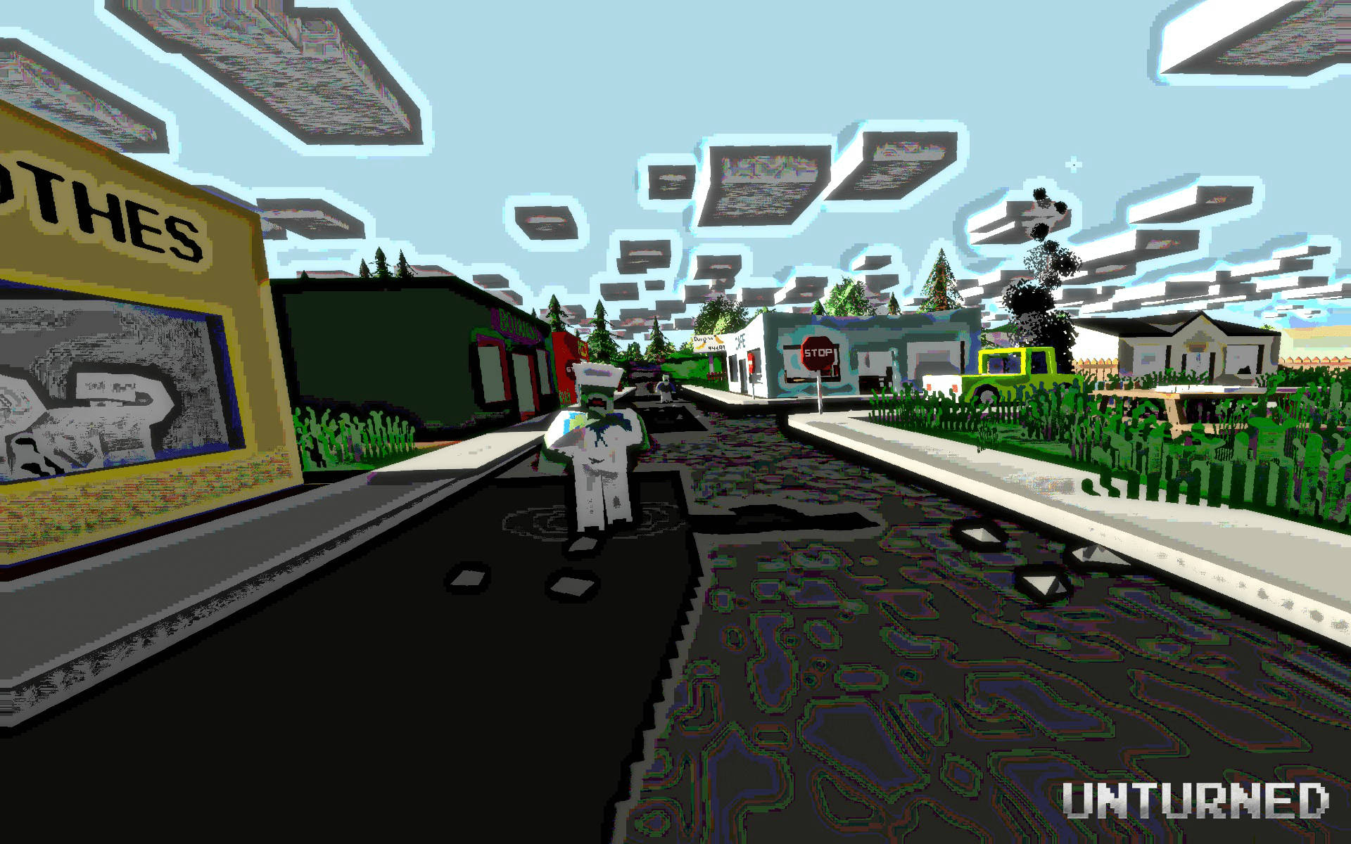
Unturned 8-Bit-Style Map Wallpaper -
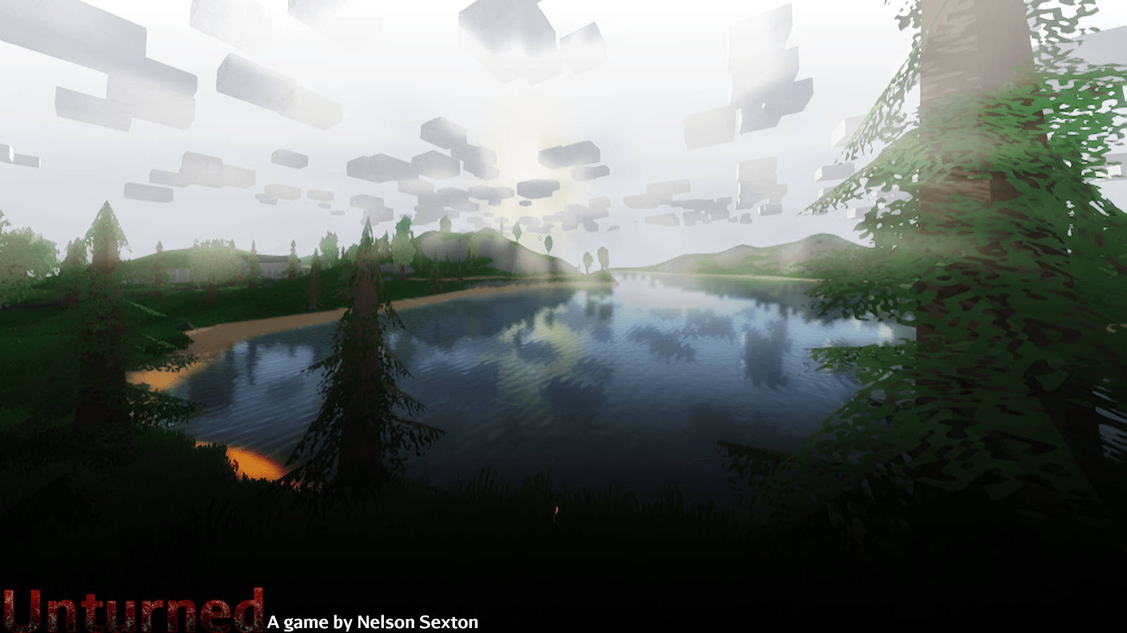
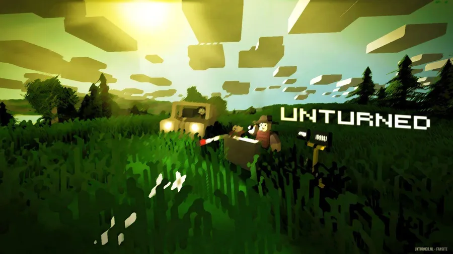
Unturned Scenic Game Landscape Wallpaper -
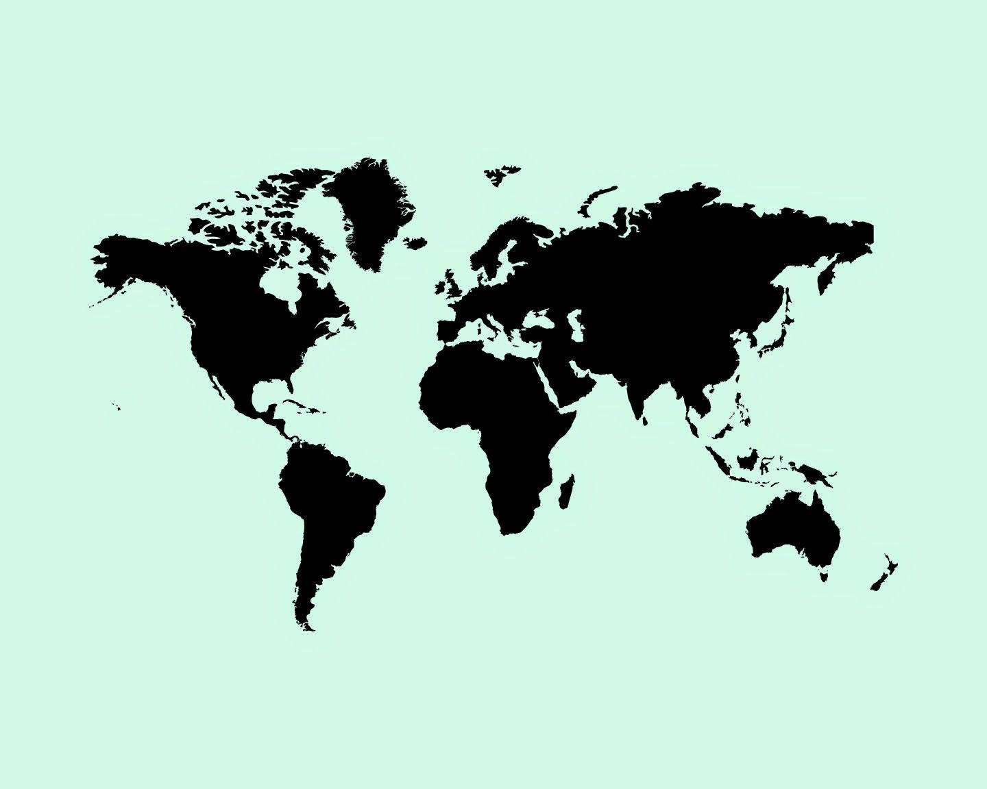
Mint Green Aesthetic World Map Wallpaper -

Mr Bean 4K Map Wallpaper -

Mr Bean 4K Peeking From Map Wallpaper -

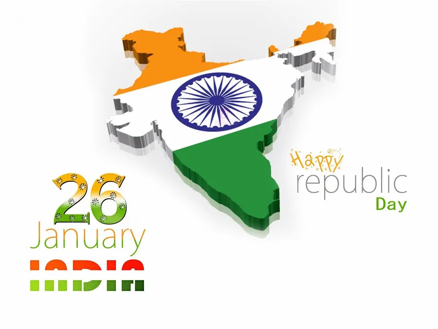
Republic Day Indian Map Wallpaper -
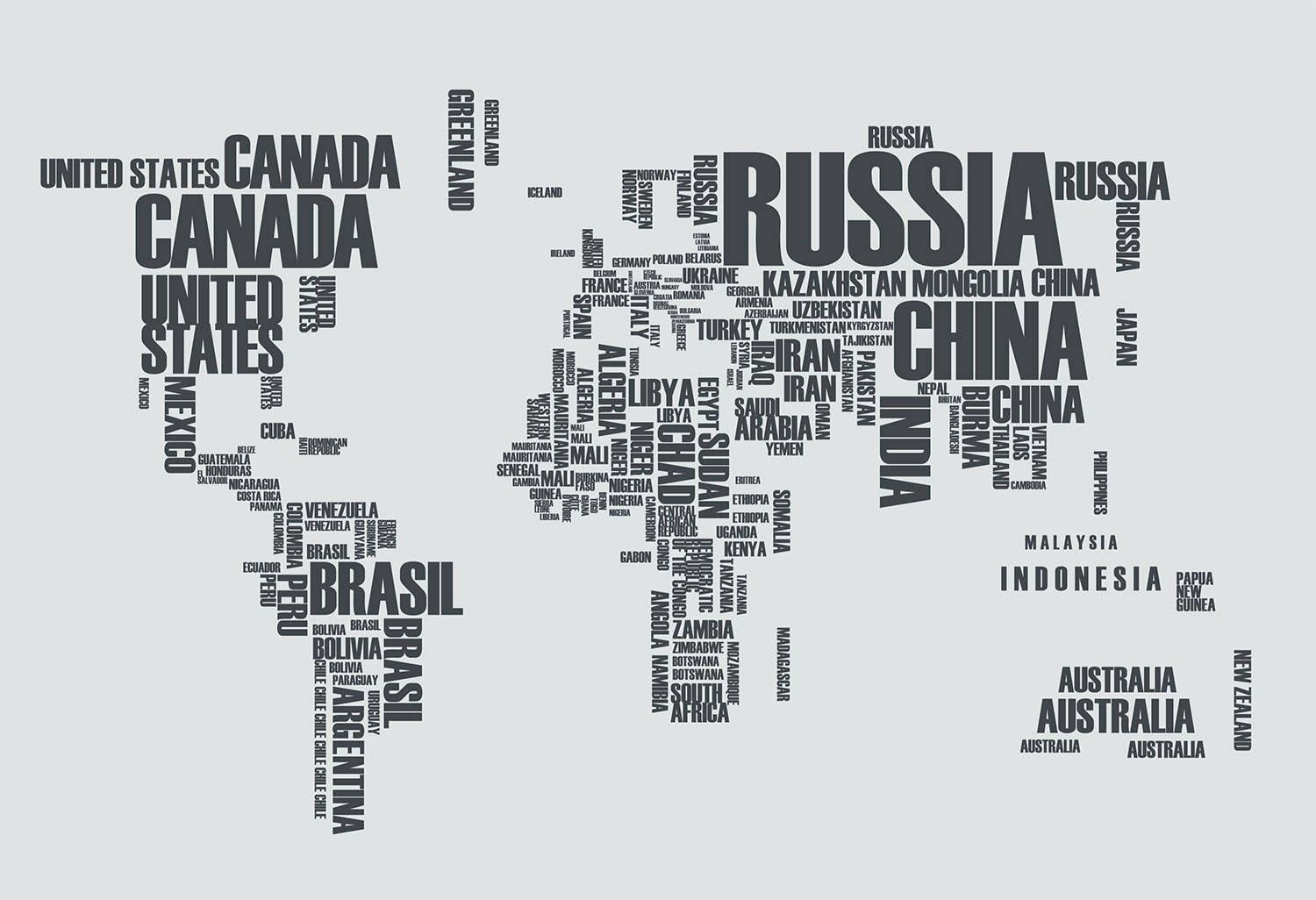
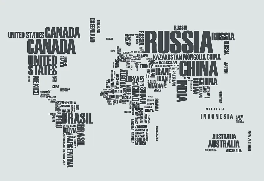
Text Nation Map Wallpaper -

Texas Country Size Wallpaper -

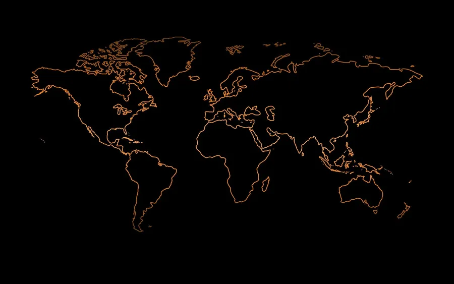
3D World Map Pitch Black Pattern Wallpaper -

The Thrilling Adventure of Dude Perfect Game Wallpaper -

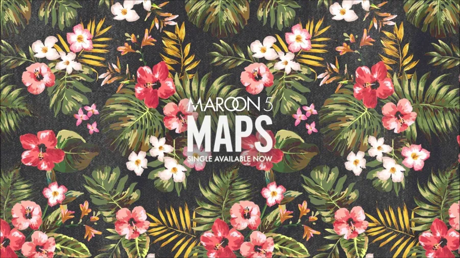
Maroon 5 Flowers Leaves Maps Wallpaper -

Breaking News Update on Live Television Wallpaper -
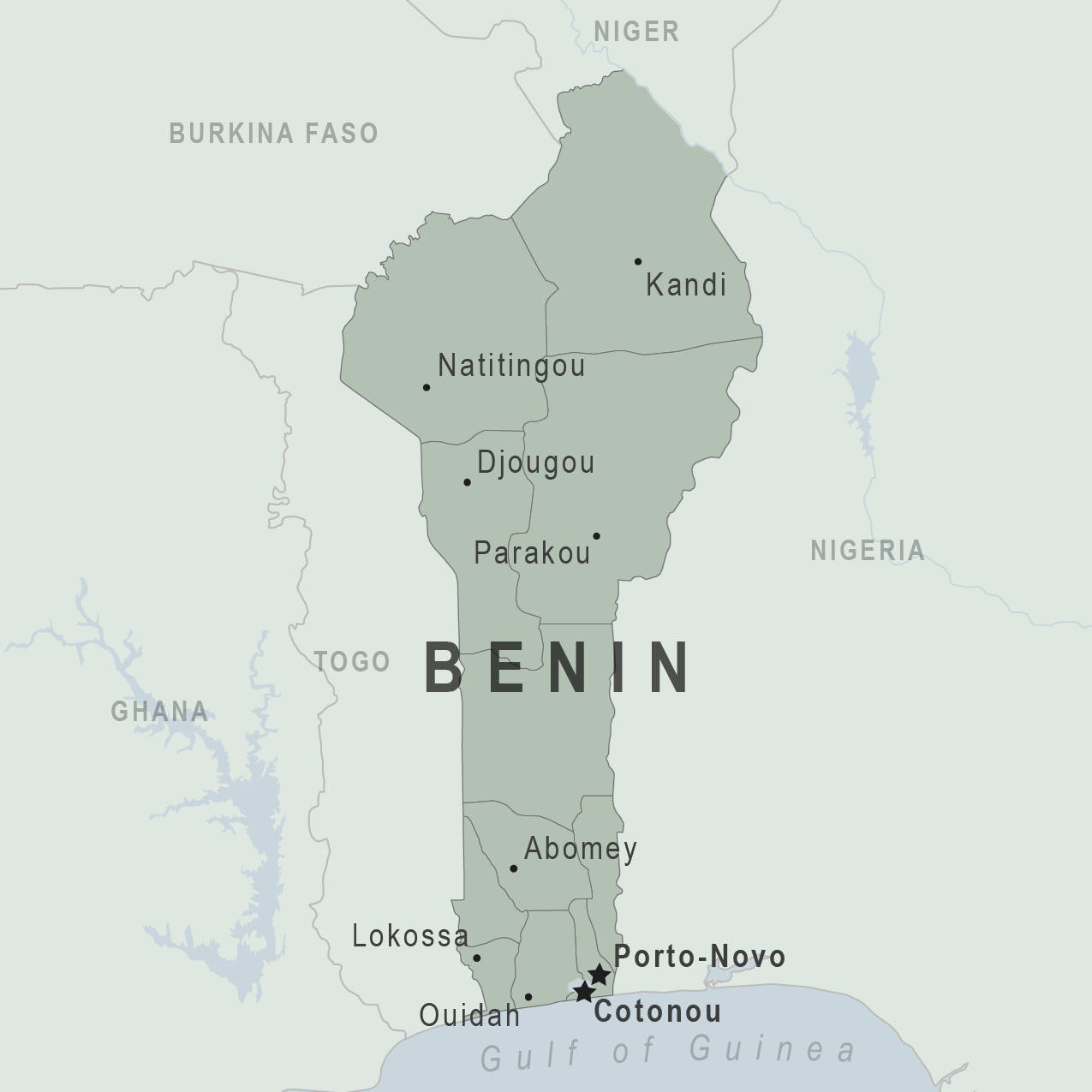
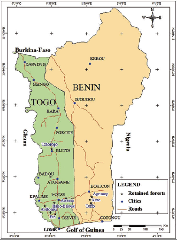
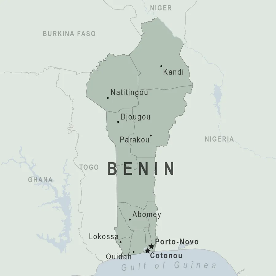
High Resolution Detailed Map of Benin Wallpaper -
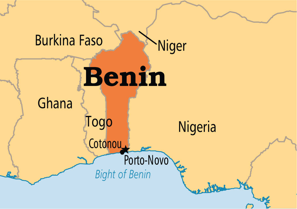
Benin In West Africa Wallpaper -
Benin Highlighted on The World Map Wallpaper


Related Wallpapers Categories
📌 Boards
Build your own collection of wallpapers
Boards are free personal collections of wallpapers, backgrounds, PNGs and SVGs. Keep them private or share with one click.


